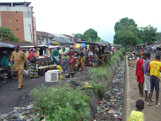
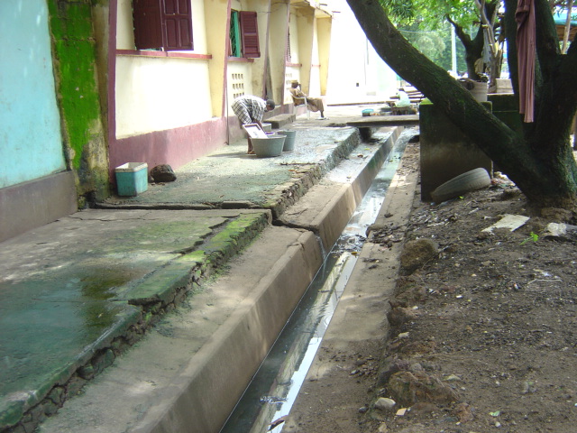
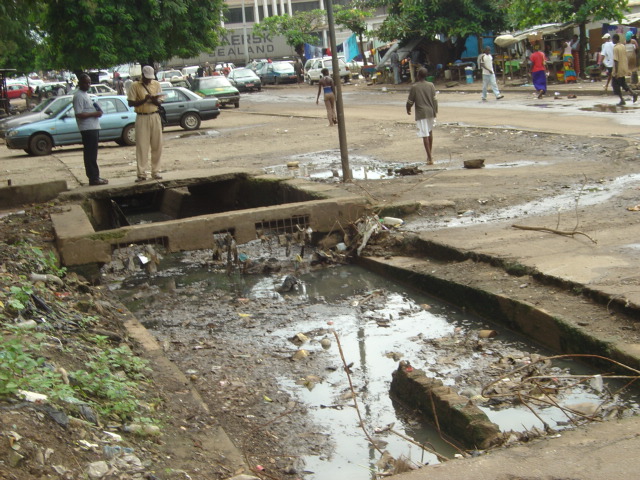
Sites visits.
Collection of available data and information relevant to the project.
Diagnosis of the current situation of drainage, identification of the flooded zones and the stagnation of water, etc.
Updating of the database and the establishment of the new necessary data for the study.
Identification and diagnosis of the existing networks as well as the possible refusals (dis-charges).
Study and hydrological modeling of the inflows from the basins outside and inside the study area and calculation of the flows to drain.
Ground layout and alignment of primary and secondary stormwater networks (pipes and lift stations): different variants are studied and compared from a technical and financial point of view and then submitted to the client for advice.
Modeling and simulation of the operation of existing and projected systems using the Epa SWMM software.
Preparation of the preliminary project file on the basis of the variant selected by the client and whose components were the subject of a topographic survey.
The Detailed project file includes a detailed description of the selected priority section (55 km of canals and scuppers), the sizing and calibration of the new and rehabilitated collectors and structures, the detailed bill of quantities of the works and their estimated cost, as well as a set of plans (longitudinal profiles, general plans, detailed drawings, etc.), an economic feasibility study, an environmental impact study and an information and awareness campaign for the population.


